
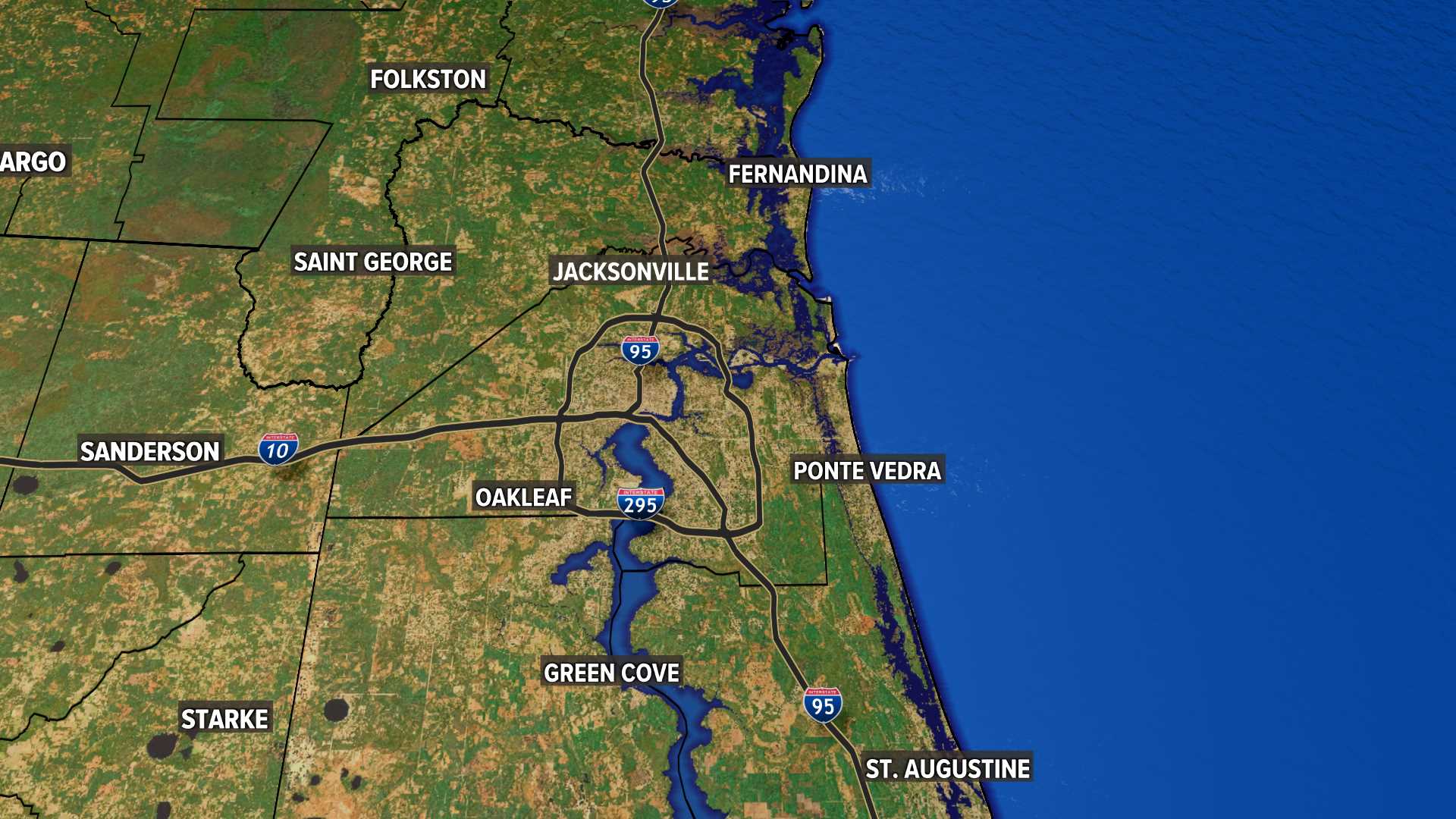
Jacksonville Weather | Jacksonville, Florida
Right Now
81
Partly Cloudy
Feels like: 84°
Humidity: 59%
none: 0%
Wind: 11 mph ESE
Most Accurate Forecast


Weather News
- Local Weather: Heating up with isolated, yet seasonable pop-up downpours possible as "it's gonna be May"
- Jacksonville says goodbye to 7 p.m. sunsets
- New color-coded heat risk tool adds a level higher than red
- NASA satellite to help with algae and hurricane forecasting
- Lyrid meteor shower: When is the peak, where to look in the sky
10-Day Forecast
Wed
May 01
88
64
20%
11
MPH
S
Partly cloudy. Lows overnight in the upper 60s.
54%
N/A
6:42 AM
8:04 PM
Thu
May 02
85
66
10%
11
MPH
ESE
A few clouds. Highs in the mid 80s and lows in the upper 60s.
61%
Very High
6:41 AM
8:05 PM
Fri
May 03
86
66
10%
12
MPH
ESE
Times of sun and clouds. Highs in the upper 80s and lows in the upper 60s.
60%
Very High
6:40 AM
8:06 PM
Sat
May 04
87
65
30%
12
MPH
SE
Times of sun and clouds. Highs in the mid 80s and lows in the upper 60s.
58%
Very High
6:40 AM
8:06 PM
Sun
May 05
87
64
30%
11
MPH
SE
Afternoon showers and thunderstorms. Highs in the mid 80s and lows in the low 70s.
57%
Very High
6:39 AM
8:07 PM
Mon
May 06
88
64
20%
9
MPH
S
Thunderstorms developing in the afternoon. Highs in the upper 80s and lows in the low 70s.
58%
Very High
6:38 AM
8:08 PM
Tue
May 07
90
66
10%
9
MPH
W
Partly cloudy. Highs in the low 90s and lows in the upper 60s.
57%
Very High
6:37 AM
8:08 PM
Wed
May 08
92
66
5%
11
MPH
WSW
Abundant sunshine. Highs in the mid 90s and lows in the low 70s.
54%
Very High
6:36 AM
8:09 PM
Thu
May 09
94
68
3%
10
MPH
WSW
Mix of sun and clouds. Highs in the upper 90s and lows in the low 70s.
49%
Very High
6:36 AM
8:10 PM
Fri
May 10
97
72
7%
12
MPH
WSW
Partly cloudy. Highs in the upper 90s and lows in the low 70s.
50%
Very High
6:35 AM
8:10 PM
Hourly Forecast
8 PM
Wed
77°
10%
6
MPH
ESE
9 PM
Wed
75°
6%
6
MPH
ESE
10 PM
Wed
73°
8%
5
MPH
SE
11 PM
Wed
71°
8%
4
MPH
SE
12 AM
Thu
71°
15%
3
MPH
SE
1 AM
Thu
70°
16%
2
MPH
SE
2 AM
Thu
69°
7%
2
MPH
SSE
3 AM
Thu
68°
7%
2
MPH
SSE
4 AM
Thu
68°
8%
2
MPH
SE
5 AM
Thu
67°
8%
1
MPH
ESE
6 AM
Thu
66°
8%
0
MPH
SSE
7 AM
Thu
66°
8%
0
MPH
S